Geospatial

Daybreak schedules early launch for MiniCarta app to support COVID response
Jason Dalton

Public Health officials and first responders are primary users.

US Forest Service road identifiers now in TotalTopo
Robert Sellers

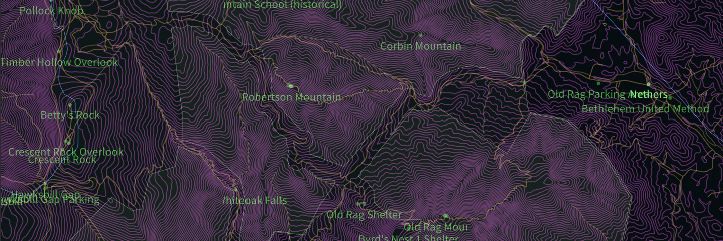
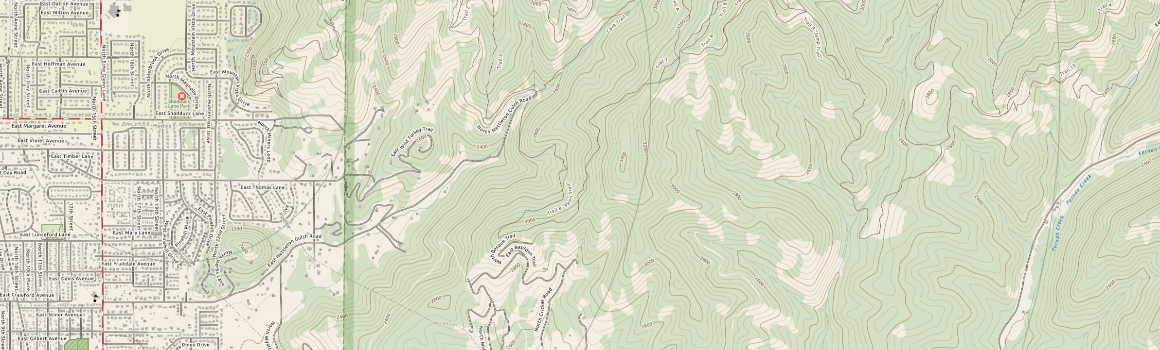
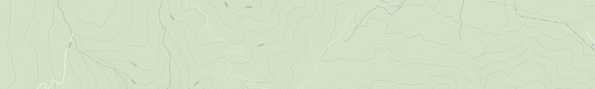
Important topo map update - US Forest Service roads.

Massive building footprints data for TotalTopo
Jason Dalton

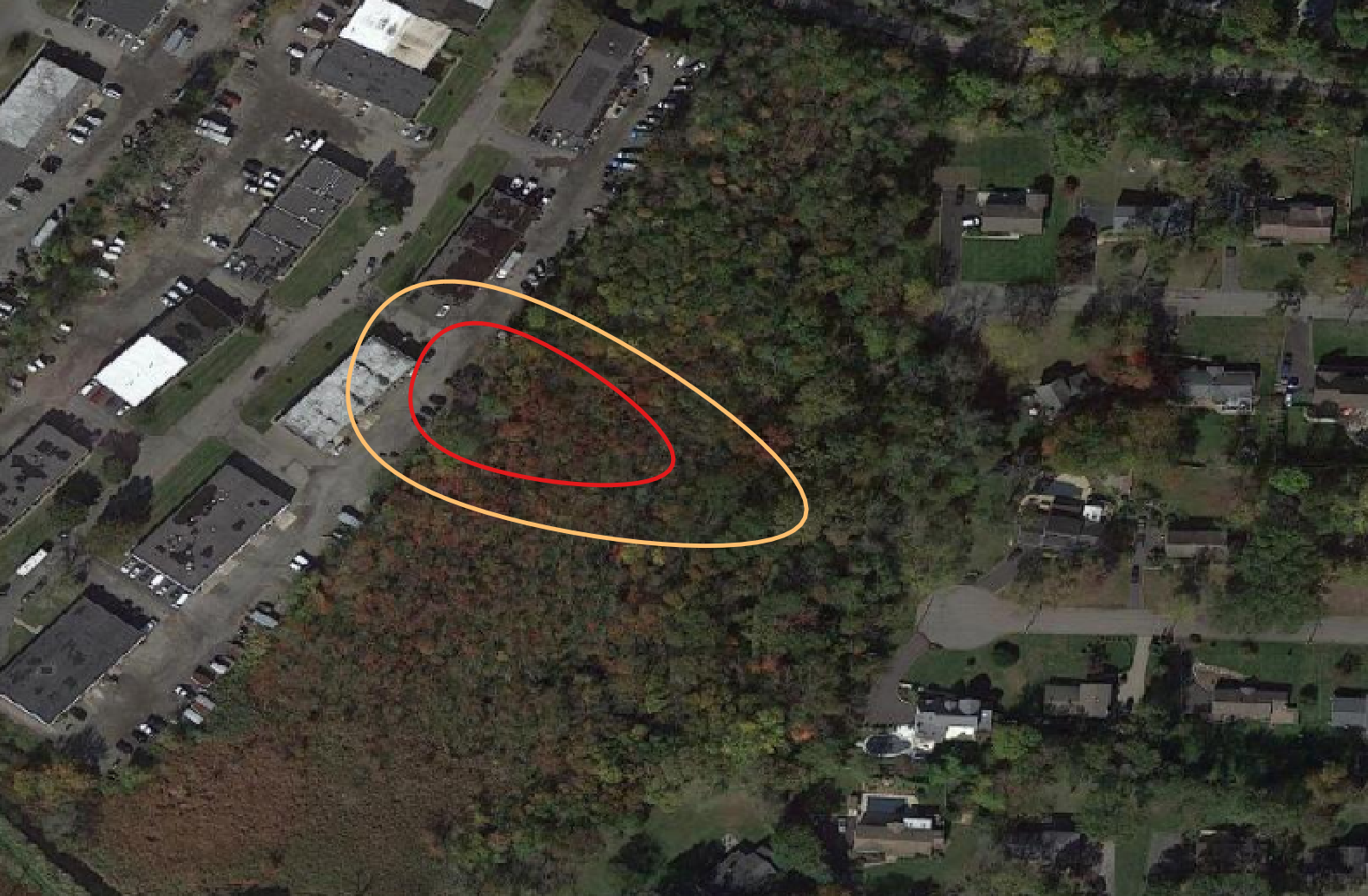
FIND software integrates Bing buildings into topo maps for SAR.

Maps of alternative fuel stations in the US
Jason Dalton

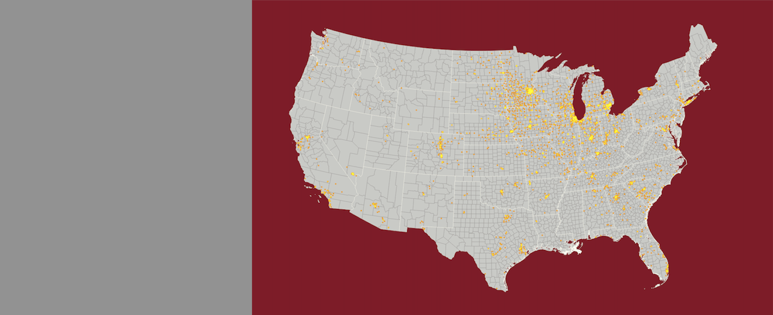
Data provided by the new HIFLD Open data set

Designing a topo map for search and rescue
Jason Dalton

Using open map data to help save lives outdoors