A selection of our work and projects.
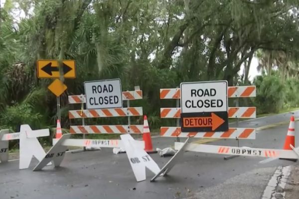
QuickRoute is GPS routing for emergency response vehicles that accounts for official rescue and response vehicle rules and capabilities to get emergency responders to the scene as fast as possible.
MiniCarta is a geospatial data collection and sharing platform that created to serve the need for a simple, fast, and accurate data collection and tagging system common to fieldwork. MiniCarta is incredibly versatile, and can be used for tagging and sharing well locations, survey markers, sampling locations, utilities, and much more.
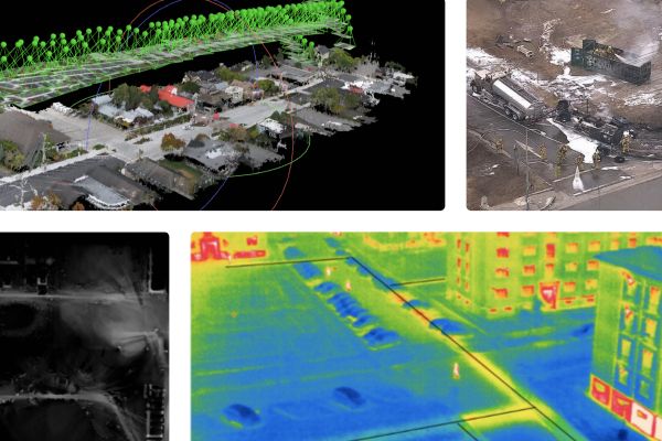
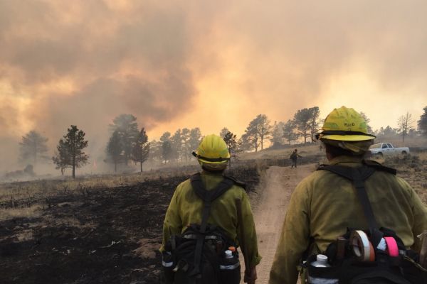
DigitalVista is a ruggedized, portable solution for processing drone data into usable information. This quick, on-demand solution is specifically tailored to the needs of first responders, law enforcement, search and rescue, and disaster response teams.
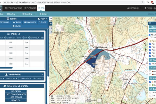
FIND is a search and rescue (SAR) mission management tool that combines search theory, task management, resource tracking, and field task mapping.
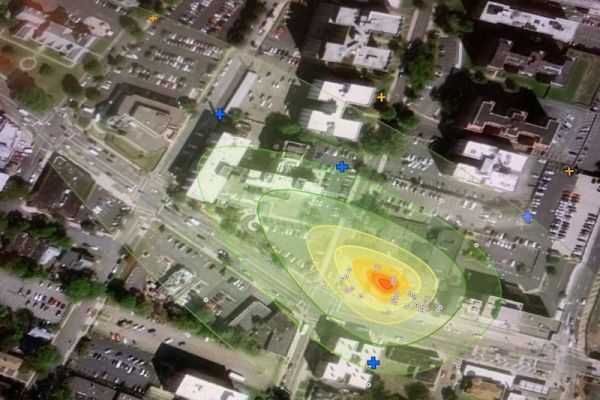
EnviMetric is an environmental contaminant modeling method that estimates the size and shape of a groundwater and soil contamination plume through geospatial AI techniques and a proprietary database of thousands of past contaminated sites from across the US.
Contact us today for a free quote!