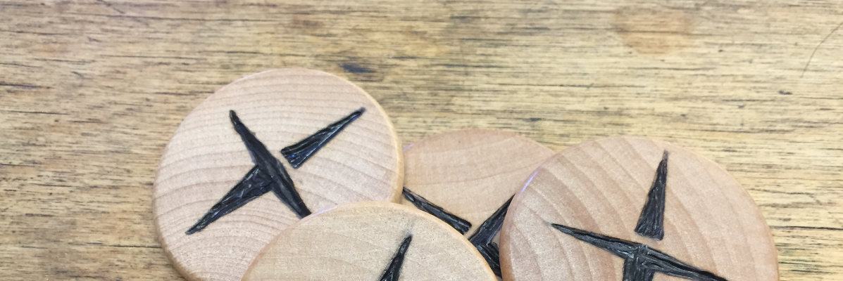
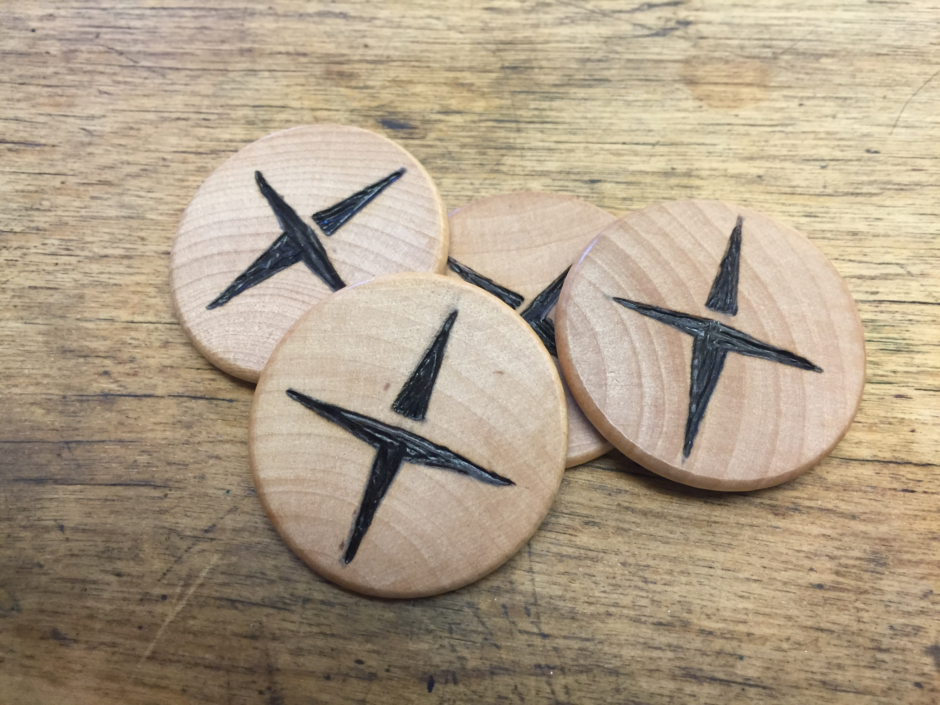
If you’re heading to the 26th Annual Virginia GIS Conference next week, you can have a little fun with a geo-challenge we’ve set up. You’ll need to find the map provided to you in your conference bag at registration. Open it up and you’ll find directions to two of four geo-tokens we’ve placed around town, nearby the conference. Get out there, discover some areas of Charlottesville, and if you find a token and bring it back to us at the Daybreak (formely Azimuth1) booth in the exhibit hall, you’ll win a prize for your effort. Follow us on Twitter for more info during the conference https://twitter.com/Azimuth1Tech
While you’re there, check out two talks in the conference given by Daybreak folks. Jason Dalton is presenting a methodology for predicting water flow to structure fires in rural areas. Kara Mahoney is talking about how she designed and built an improved topographic map to help search and rescue teams. We’re focusing on our Public Safety work at the conference, but at our booth you can see our work in environmental remediation as well.
We look forward to seeing you at the conference!